
You will find that road access to Australia’s national parks in 2026 is at the mercy of local management, fire danger, the state of the roads and the weather. Put simply, alpine roads and tracks are apt to shut for the winter, or be closed on a moment’s notice in the north when the wet season brings flooding, or if a storm, fire or environmental damage has rendered them unsafe.
I am Julian Norwood and my share of travel misadventures has taught me not to take a locked gate for granted. When one has put in a few hours behind the wheel with the esky loaded up, a sign at the park can seem like an annoyance. Yet those seasonal closures are there for a reason, to see to the safety of the visitor and to preserve the habitat, the roads and the tracks. Here I set out how to plan accordingly, what to make of the Victorian access information and the rest of the country, and to sidestep the problem of finding your route is rough as guts once the mobile has no signal.
Making Allowances for Seasonal Access
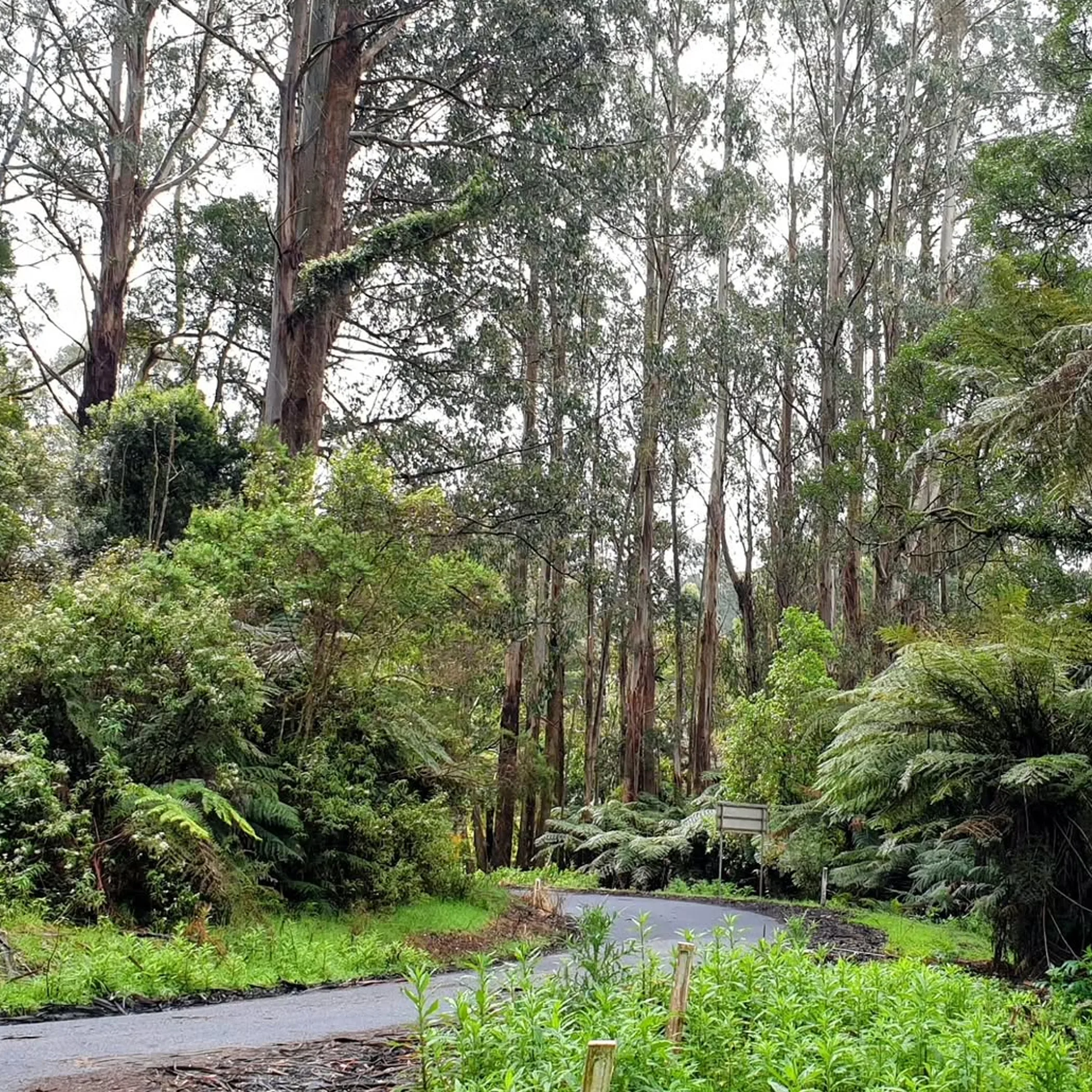
There is no single timetable for seasonal access. Every territory and state is responsible for its own closure notices, fire conditions and the running of its parks and roads. You may encounter closures on sealed roads and in the visitor areas, or they may be confined to 4WD and unsealed routes, river crossings and the like. Check the latest Victorian national parks road status before travelling.
My advice is to look at the official alerts before you head off and once more at the last place with any reception. What was open at the time of planning could be shut after a bout of rain or snow, or a maintenance check, or because of a bushfire warning.
The 2026 Meaning of “Open”
An open road is not necessarily an easy one. There can be potholes, corrugations, mud and snow, or it might only be passable for an experienced driver with the right clearance and recovery kit. As for national park road closures in Australia for 2026, do not take the published status as a sure thing for a comfortable journey; it is best regarded as a point of departure. The situation on the ground can be different by the time you get there, especially in the Snowy Mountains, the Victorian High Country or the northern parks in the wet.
| Area / Condition | Likely Access Issue | How to Plan |
|---|---|---|
| Victorian alpine parks | Winter ice and snow, wet going and the odd seasonal closure | Before you leave, consult Parks Victoria and the local road reports |
| Victorian High Country | Erosion, unsealed roads and 4WD track closures, creek crossings | Have an alternative route and the necessary gear and maps |
| NSW mountain parks | Temporary changes to access, fire restrictions, storms and snow | See the NSW National Parks and Wildlife Service for their alerts |
| Top End / northern WA | Cyclone damage, creeks in spate and wet season floods | Check on local conditions. Do not attempt to cross moving floodwater |
| Remote desert parks | Isolation, fuel availability and the heat over long distances | Make sure you have your permits and know the road and comms situation |
The Case for Closing Tracks
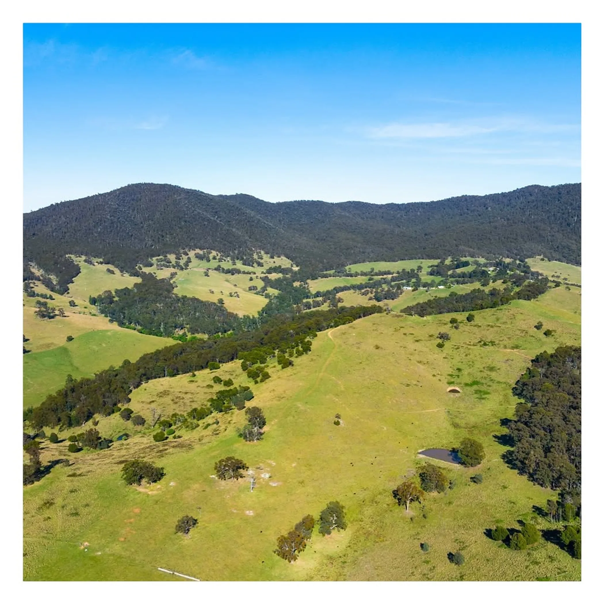
A seasonal closure is well justified. A vehicle will soon erode the drainage and turn a bog hole into a wider track if the soil is saturated. In the alpine regions ruts from wheels can channel water and hasten erosion.
Then there is the risk to the visitor. A bit of snow or a fallen tree can make a recovery job of what should be a simple drive. It is less costly and more dignified to be turned back at the gate than to have to call for assistance from the bottom of a muddy creek.
Safety of the Visitor and the Environment
Parks Victoria, the Department of Energy, Environment and Climate Action and Forest Fire Management Victoria will not hesitate to limit access to safeguard public infrastructure, cultural sites or the habitat of threatened species. Environmental protection is integral to how the roads are managed.
Fire danger can put an end to the usual seasonal pattern. During a Code Red or total fire ban, or with active fires and smoke, a park will close. Sometimes a camping area or walking track will be off limits while the road stays open.
What One Might Expect and What One Will Find
One expects a winter closure to mean a road is a touch slippery. In reality it can be beyond ordinary vehicles and hard even for a 4WD, and not safe for towing.
And while a 4WD is capable, it does not negate a closure nor make a compromised track any safer. To go round a locked gate is to put the park and everyone in it at risk.
Alpine Closures in Victoria
Travellers are most often caught napping in Victoria where elevation dictates the access. A pleasant day in Melbourne is no guide to what you will face on an alpine road a few hours out. While the lower country is at its most agreeable, the High Country can be under a spell of snow and ice or see rain that will not let up.
When making plans for Victoria 2026 seasonal road closures, one should work to the opening and closing times put out for every park and road. As for reopening, there are any number of variables: an inspection, grading, drainage work or the rate of the snow melt, and whether the road can stand the traffic without being damaged further.
High Country Roads And Tracks
There is a good deal of variety in the Victorian High Country from sealed approaches to gravel and narrow mountain roads as well as 4WD tracks. Long weekends will have the roads in the vicinity of some towns clogged, but on a remote stretch you are as likely to come across wallabies as other people.
Take the Dargo High Plains Road for instance; it is a case in point for checking your route. A 2026 closure notice might apply to a single section or connection and not all the roads in the Dargo area. An old printed map is no guarantee an alternative is open.
Before you set off, consult the official road status for Victorian national parks and cross reference with VicRoads for public roads beyond the park. The latter will put you in the picture on any planned works or incidents on the broader road network, while Parks Victoria has what you need to know about gates, tracks and facilities within their purview.
Long Weekends and Reopening Dates
Many put in for the King’s Birthday long weekend but do not mistake a public holiday for an assurance of access. Even if something is slated to open on 29 October 2026 or in the first part of November, weather or an inspector may put a hold on it.
Make an itinerary that will hold up should the high route be off limits. There are scenic sealed roads and walks at a lower elevation and accommodation in town that will make a weekend of it rather than having to put up with a gate and some emergency muesli bars.
Driving in Victoria
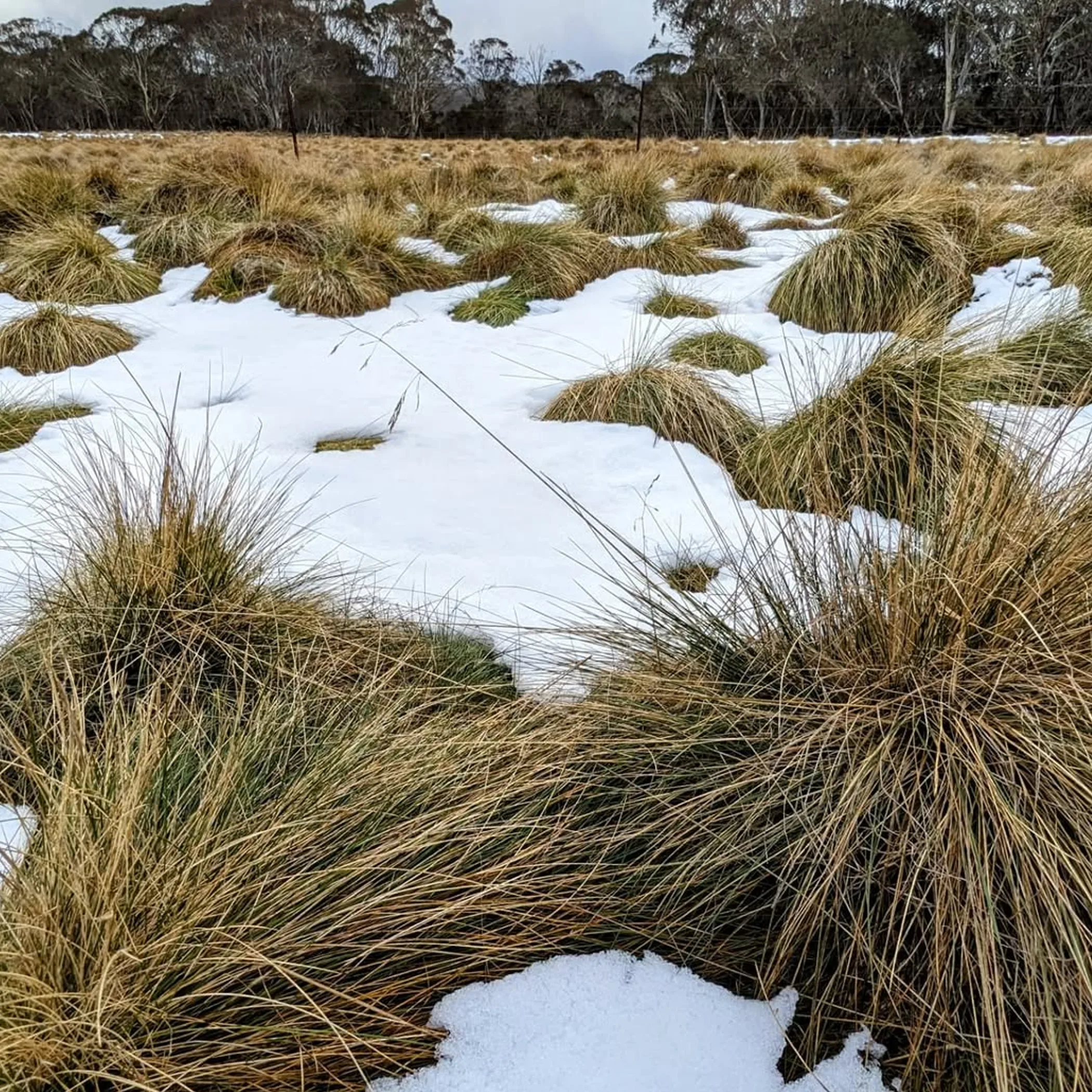
Do not put off looking at the Victorian national parks road status until you are close to leaving. Put in the name of the park or road and read the whole of the notice, not just the snippet, to see if the restriction is on camping, vehicles or a given season. For the official word on closures and park information go to Parks Victoria. VicRoads is where to look for public-road matters. In the event of fire restrictions or emergencies, Forest Fire Management Victoria and the authorities have the details.
Alerts and Maps
You need both. A map will show the way but an alert will tell you if you can travel it today. A standard app may not pick up a facility or track restriction shown on the Parks Victoria closures map, any more than the Victoria road closures map will indicate a park gate. This is true of 4WD track closures in Victoria too. Off-road apps and a printed map are fine for orientation but they may be unaware of a bridge issue or a new gate closure. Have your maps for when you are offline and the phone numbers for your route to hand, and note the last place you can get fuel.
On 4WD Tracks
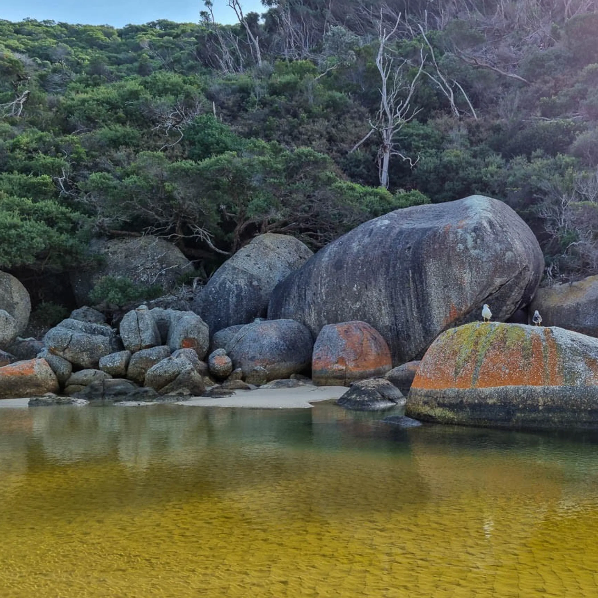
These are not like a regular sightseeing road and call for preparation. See to your tyres, spare wheel, ground clearance, recovery points and communication before you go. Do not think a vehicle with road tyres and nothing to recover it with is suited to a muddy alpine track.
A few hours of rain is enough to alter conditions. Should a crossing prove muddier or faster than you thought, put a stop to it and have another look. You may earn a look from your companion as if Christmas has been called off but turning back is a good outcome.
A Checklist
- See what the forecast and the official notices say on fire and closures.
- Have warm clothing, water, food, a spare tyre and the means of recovery.
- Put your return plan and route in front of someone and get your offline maps.
- Factor in time for road repairs, livestock and to put the camera down.
- Keep to the formed road, respect the gates and do not leave your rubbish behind.
For Some, Another Route is Wiser
Unstable weather is no time for a novice 4WD driver or a solo traveller with poor communications to be on a tough alpine track, nor anyone with a heavy caravan or little daylight. A managed visitor area or sealed road is the better option.
With only a day to spare, find a destination you can get to easily and be sure of a reliable way back. There is no point in structuring a one-day trip on a road that may or may not open again. Go where you can take your time and not have to rush back in a storm.
Compare Other States And Seasons
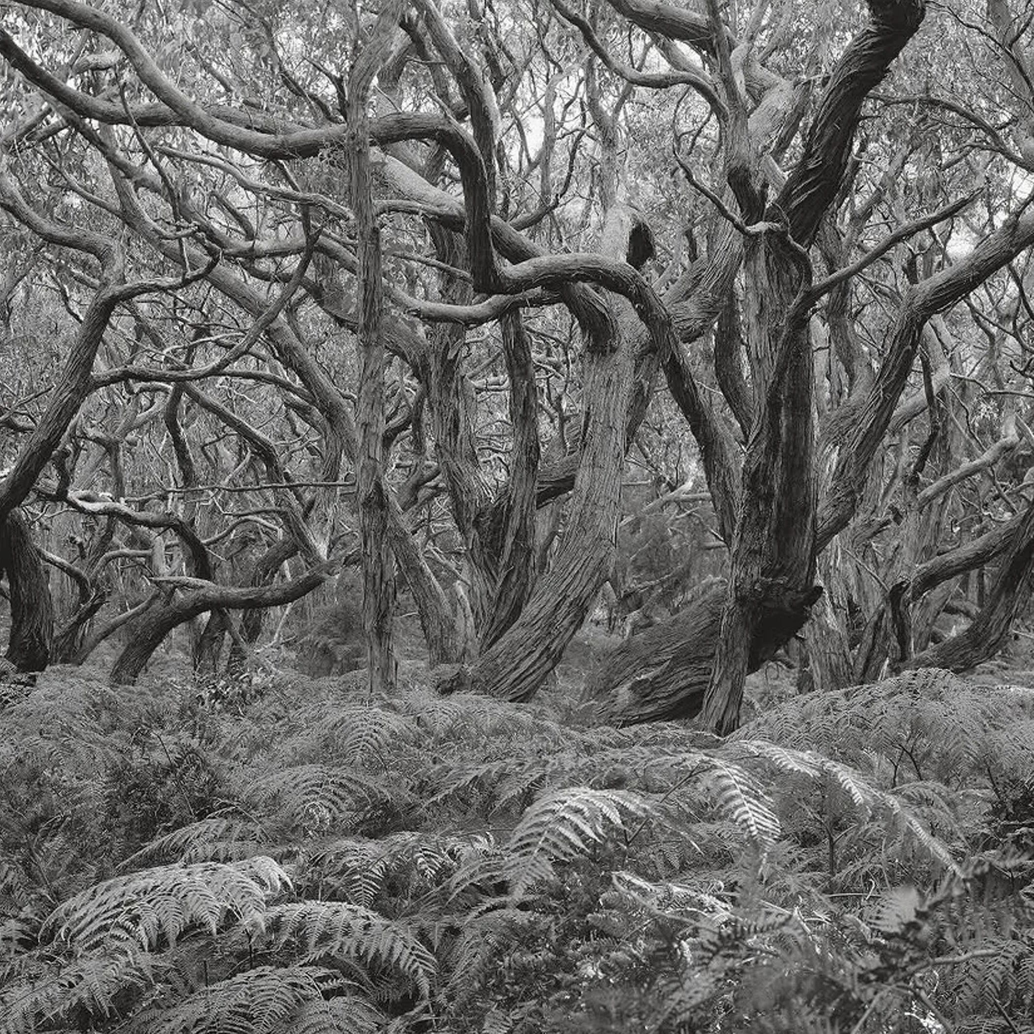
For 2026 the seasonal closures in NSW national parks are dictated by what is happening on the ground, not by Victoria’s calendar. Snow and ice will see mountain roads shut, as fire, flood or storm damage, or simply for works, can close an inland or coastal park. Any questions of access or notices are a matter for the NSW National Parks and Wildlife Service.
The wet season is the chief concern in northern Western Australia and the Northern Territory. Rain can put an end to road access in the Top End, the Kimberley and more remote parks; do not be deceived by a blue sky into thinking a creek crossing is safe. From November through April one has to be mindful of cyclone alerts in the north.
Match Routes To Climate
Routes should be chosen with the climate in mind. The high country and alpine regions are where winter closures have most impact. In the Red Centre or some of the Pilbara it is the heat and distance that can be more of an impediment than an official closure, while in the north the wet season will dictate your options for accommodation, river and airstrip access.
A word to the remote traveller: look at the permits, Aboriginal land requirements, fuel situation and any road reports. It is possible the Stuart Highway or Gibb River Road is open but the park access road off them is not. “Nearly there” is no way to describe a road.
Put together an itinerary that is safe
Have a primary route, a shorter option if you need to fall back and know when to turn around. Factor in enough time for the weather, wildlife, road trains and the corrugations on a gravel road; navigation apps have a habit of underestimating the difficulty of remote travel even if they get the distance right.
Before making a booking on food and accommodation, see what the going rate is. Put aside money for park fees or permits and for an extra night should a closure put a spanner in the works. Out in the bush a full tank and a simple meal are worth more than an over-ambitious timetable.
What tends to trip up travellers
One will check conditions at the time of booking and then not again before setting off. Or there is the error of equating a state forest road with a national park track, when in fact different managers and rules may be in play.
Reception is apt to go well ahead of the hard part of the journey. Have a paper map and some information downloaded and let someone you trust know when you will be back. Should you be put behind schedule, make use of your emergency device as instructed, hold your water and stay with the vehicle if you can.
Frequently Asked Questions
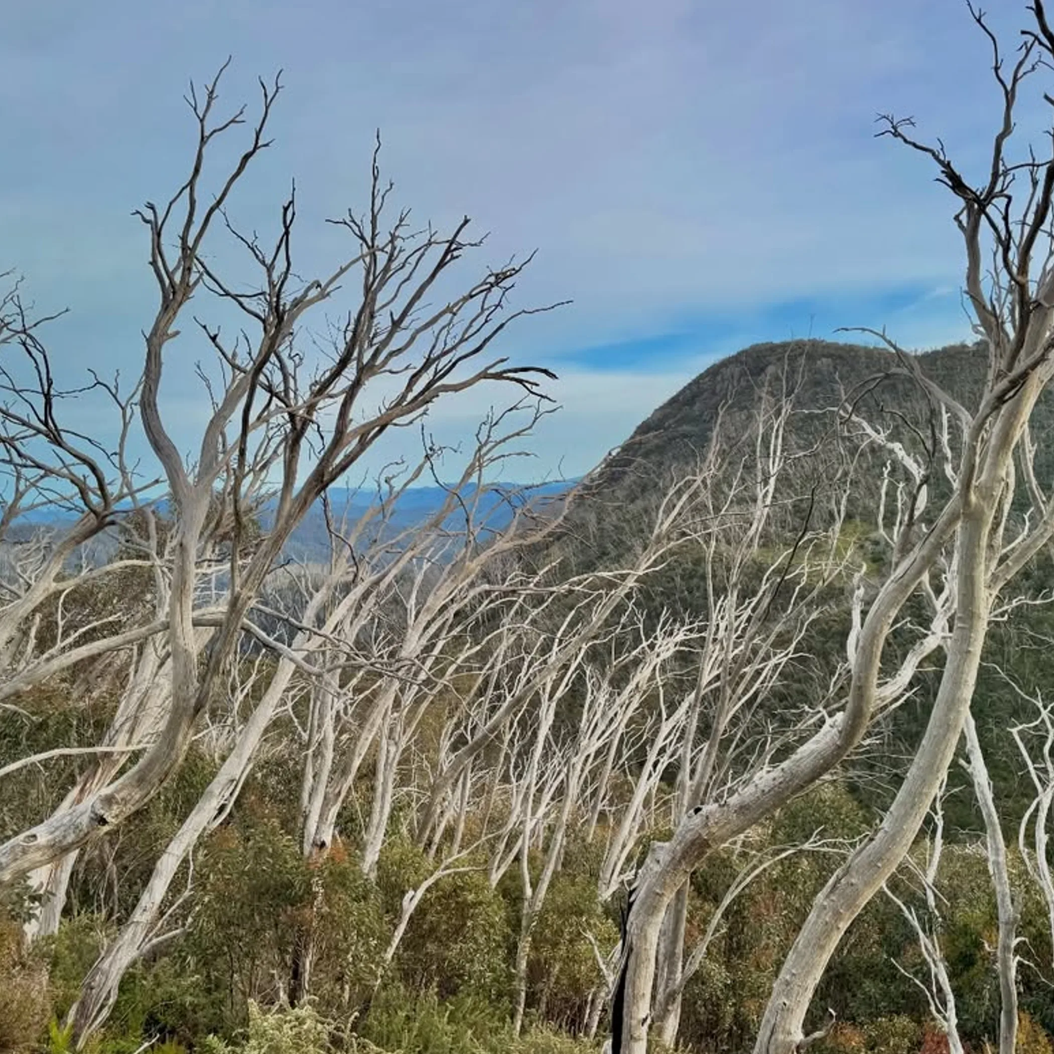
Victorian High Country: What is the state of seasonal road closures?
There is not a list that covers every road in the High Country. A given park or road may be closed due to snow, rain or fire and the management authority will decide. One would do well to consult VicRoads, Forest Fire Management Victoria and a Parks Victoria notice prior to travelling.
Is there a best national park in Australia?
You will not find an objective answer to that. It is a question of the season, the vehicle and what you are after. An alpine park is fine for an experienced driver in good conditions, but a family or first timer would be better served by a desert or coastal park with sealed access.
Victoria: what are the planned road closures?
You may encounter restrictions for bridge work, grading, maintenance or because of fire danger. Do not take dates such as 29 October 2026 or early November as gospel unless an official notice has confirmed a reopening.
Any park closures in Victoria today?
Not something one can say without a live check. Today’s closures could be down to environmental conditions, safety work, storms or flooding. Check the Parks Victoria alerts and other emergency info on the day.
Can I go round a seasonal gate?
No. The sign means what it says. To drive past it is to risk unassessed hazards and break the rules, not to mention damaging the vegetation. Take an open route and come back when the authority gives the all clear.
Make your plan a flexible one
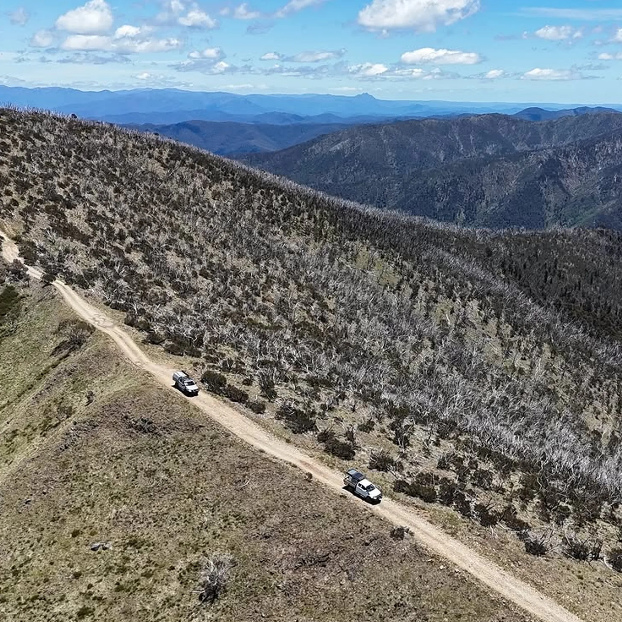
Nature has a way of altering plans and those who respect that will be better for it when accessing Australian national parks this winter. The seasonal road closures are there to stave off an expensive rescue and to preserve the place.
I keep it straightforward: get confirmation on the road, the weather and your fuel and have a second route in reserve. Then you can boil the billy and make the most of the bush with daylight to spare, instead of regarding a locked gate as a personal affront.